
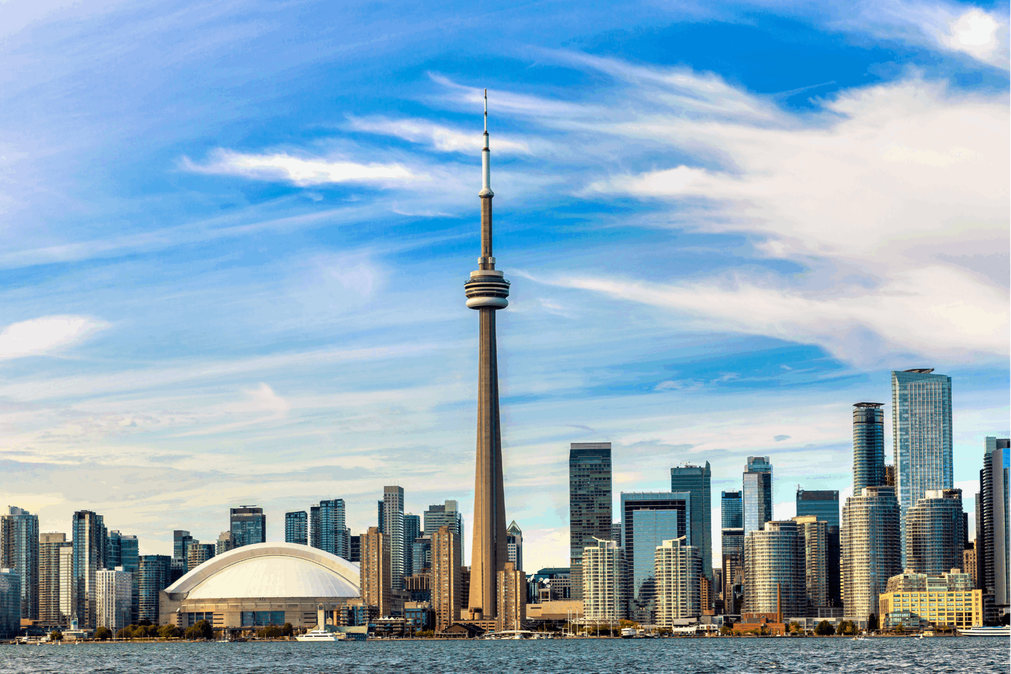
Toronto, Ontario
A hundred and fifty
small towns in one city.
Canada's largest city, laid out along a lake and cut through by ravines — and still lived in one neighbourhood at a time.
Canada's largest city,
lived one neighbourhood at a time.
Toronto sits on the north shore of Lake Ontario, laid out on a plateau cut through by river valleys and ravines. Founded as the Town of York in 1793, it became the City of Toronto in 1834 and took its present shape in 1998, when six municipalities amalgamated into one.
Toronto — 631 km² on the lake
0
Residents
(2021 Census)
0 km²
Land Area
0
Became a City
0
Official
Neighbourhoods
158 Neighbourhoods
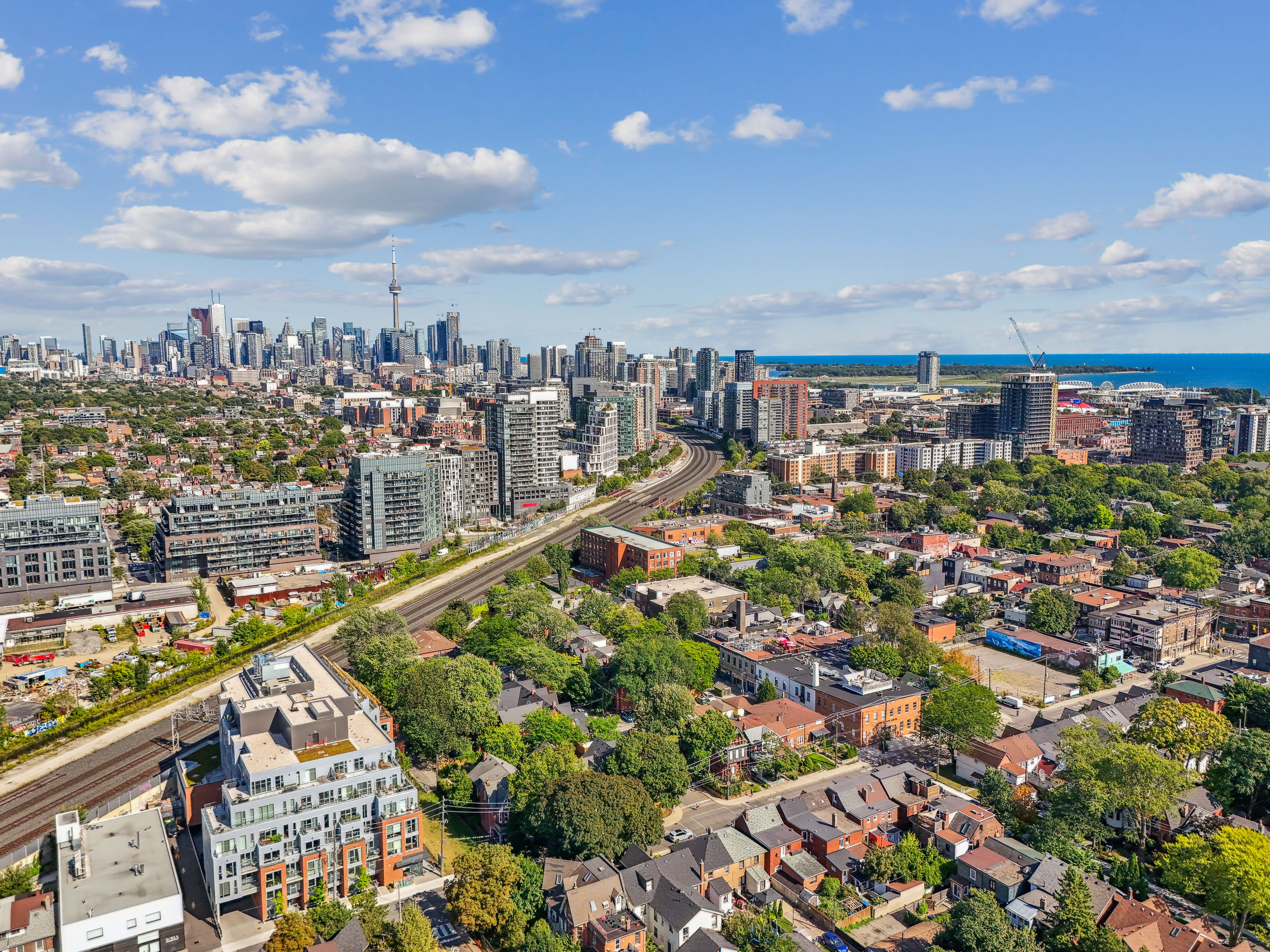
The city formally recognizes 158 of them, and people identify with theirs more than with the city — ask a Torontonian where they live and you'll get a neighbourhood, not a postal code.
The Ravines
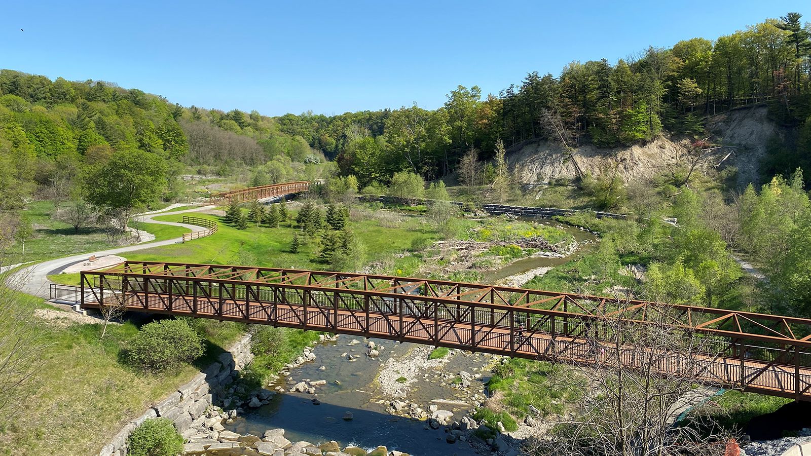
One of the largest urban ravine networks in the world runs through the city — the Don and Humber valleys, Rouge Park, and hundreds of kilometres of trail.
Six Cities Became One
Toronto, Etobicoke, North York, Scarborough, York and East York amalgamated on 1 January 1998 — and the old names are still how people describe where they live.
The Waterfront and the Islands
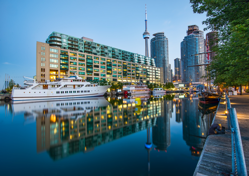
A rebuilt central waterfront, the Martin Goodman Trail end to end, and a car-free archipelago fifteen minutes offshore by ferry.
Transit You Can Live On
Two subway lines through the core, streetcars across the old city, GO to every suburb, and the Eglinton and Ontario lines still being built.
One of the World's Most Diverse Cities
About half of Torontonians were born outside Canada, and more than 200 languages are spoken here.
Population and land area from the 2021 Census of Population (Statistics Canada). Neighbourhood count per the City of Toronto.
What People Love
Why people move here
and then stay.
Ask ten Torontonians why they chose it and you'll get roughly these six answers.
Fun Facts
Six things you probably
didn't know about Toronto.
Two centuries from a garrison town to Canada's largest city, and a few surprises along the way.
Founded in 1793 as a garrison town and capital of Upper Canada, it was renamed Toronto when it incorporated as a city in 1834.
Toronto derives from a Mohawk word rendered as Tkaronto, referring to a place where trees stood in the water — a fishing weir at the Narrows near Orillia.
Toronto, Etobicoke, North York, Scarborough, York and East York became one city — and the old names are still how people describe where they live.
The city formally recognizes 158 of them for planning and services — which is why nobody here answers "where do you live?" with "Toronto".
Hundreds of kilometres of ravine and river valley run through the city, largely because the land was too steep to build on — and it became parkland instead.
About half of Torontonians were born outside Canada and more than two hundred languages are spoken — among the highest proportions of any city in the world.
Sources include the City of Toronto, the Canadian Encyclopedia and Statistics Canada.
Every corner of the city,
and what it's actually like.
Toronto recognizes 158 neighbourhoods. Here are twenty-five of the ones buyers ask about most, with the schools, parks, transit and housing that define them. Choose a neighbourhood to see the schools, parks, commute and housing mix that define it.
Old Toronto
The financial district and around it
The office core, the entertainment district and the condo towers that filled in around them. Everything is transit, and almost nothing is detached.
Schools
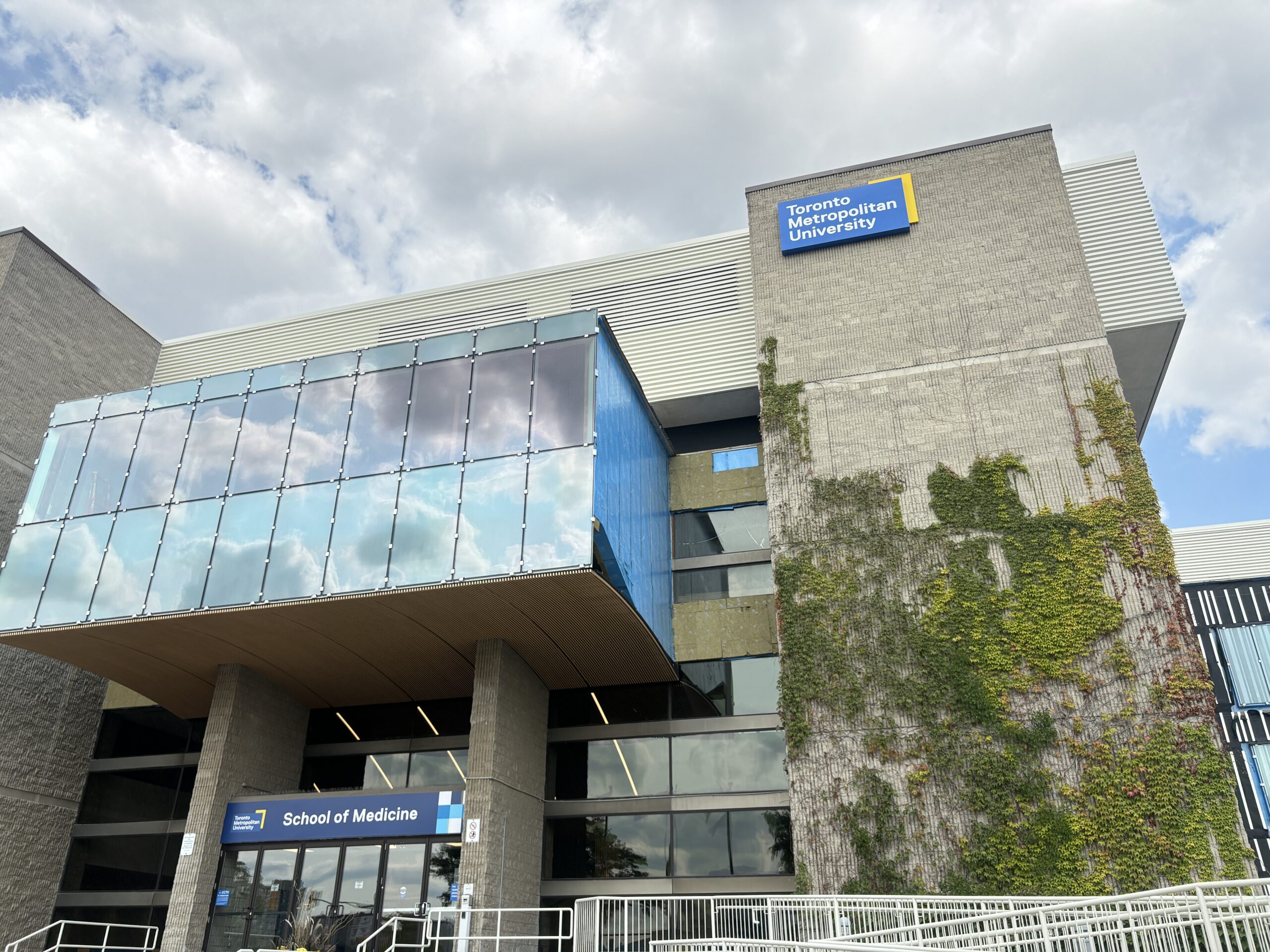
Downtown TDSB schools; Toronto Metropolitan University, U of T nearby
Parks & Green Space
St. James Park, Berczy Park, waterfront a short walk
Getting Around
Union Station, two subway lines, the streetcar network
Walkability
Very walkable
Housing
Condo towers, converted lofts
Old Toronto · West
Restaurants, then condos
West of the core along King, where warehouse conversions and new towers sit above one of the busiest restaurant strips in the city.
Schools
Downtown TDSB schools
Parks & Green Space
Stanley Park, Trinity Bellwoods nearby, waterfront trail
Getting Around
504 King streetcar; Exhibition and Union GO
Walkability
Very walkable
Housing
Loft conversions, condo towers, some Victorians
Old Toronto · West
Old factories, new density
A former industrial pocket turned into one of the densest condo neighbourhoods in the country, hemmed in by the rail corridor.
Schools
Downtown catchments; Parkdale schools nearby
Parks & Green Space
Lamport Stadium Park, Trinity Bellwoods, waterfront trail
Getting Around
Exhibition GO; King and Queen streetcars
Walkability
Very walkable
Housing
Loft conversions, condos, stacked towns
Old Toronto · West
The park and the strip
Around Trinity Bellwoods, with Queen and Dundas West either side of it. Victorians, galleries, restaurants and the city's densest concentration of small shops.
Schools
Givins/Shaw PS, Harbord CI
Parks & Green Space
Trinity Bellwoods Park, Bellwoods Park
Getting Around
501 Queen and 505 Dundas streetcars; Ossington subway
Walkability
Very walkable
Housing
Victorian semis and rows, laneway builds, small condos
Old Toronto · West
A high street that works
A Polish-rooted village between High Park and Parkdale, with a main street of bakeries and independent shops and some of the city's best-preserved Edwardians.
Schools
Fern Avenue PS, Parkdale CI
Parks & Green Space
High Park, Sorauren Park, Lake Ontario waterfront
Getting Around
504 King streetcar; Dundas West subway and Bloor GO
Walkability
Very walkable
Housing
Edwardian semis and detached homes, small condos
Old Toronto · West
Around the biggest park
Wrapped around High Park and running down to the lake at Swansea. Large lots by downtown standards, a subway station, and 400 acres of park.
Schools
Swansea PS, Humberside CI, Ursula Franklin Academy
Parks & Green Space
High Park, Grenadier Pond, waterfront trail
Getting Around
High Park and Runnymede subway; Bloor GO
Walkability
Very walkable
Housing
Detached and semi-detached homes, some condos
Old Toronto · West
Family streets, main street shopping
West of High Park along Bloor, a village with a genuinely full high street and a strong family market that rarely goes quiet.
Schools
Runnymede PS, Humberside CI
Parks & Green Space
High Park, Rennie Park, Humber River trail
Getting Around
Runnymede and Jane subway; Bloor GO
Walkability
Very walkable
Housing
Detached and semi-detached homes, some rentals
Old Toronto · West
The last of the old west end to turn
A former railway town that was dry until 1997 and is now one of the west end's most-watched neighbourhoods, with Dundas West as its spine.
Schools
Annette PS, Humberside CI
Parks & Green Space
Vine Parkette, High Park nearby, West Toronto Railpath
Getting Around
Dundas West and Keele subway; Bloor GO
Walkability
Very walkable
Housing
Victorian and Edwardian homes, lofts, new mid-rise
Old Toronto · Central
Big brick houses near the university
North of Bloor beside U of T, with Victorian and Edwardian mansions, a long-standing academic population and Bloor's restaurants at the bottom.
Schools
Huron Street PS, Central Tech; University of Toronto
Parks & Green Space
Jean Sibelius Square, Ramsden Park nearby
Getting Around
Spadina, Bathurst and St. George subway
Walkability
Very walkable
Housing
Victorian semis and detached, converted units, small condos
Old Toronto · Central
Luxury, in a small footprint
The city's luxury retail district and its most expensive condominium market, sitting on top of two subway lines a few blocks from the Annex.
Schools
Jesse Ketchum PS, Jarvis CI
Parks & Green Space
Ramsden Park, Village of Yorkville Park
Getting Around
Bay, Bloor-Yonge and Museum subway
Walkability
Very walkable
Housing
Luxury condos, converted Victorians, townhouses
Old Toronto · Central
The old money address
Ravine-bounded streets north and east of Yorkville, with the largest lots in the old city and a network of paths down into the Don valley.
Schools
Whitney PS, Rosedale Heights; Branksome Hall nearby
Parks & Green Space
Craigleigh Gardens, Rosedale Valley, the Beltline
Getting Around
Rosedale and Summerhill subway
Walkability
Somewhat walkable
Housing
Large detached homes, some townhouses and low-rise condos
Old Toronto · East
The Victorian district
North of Queen east of Parliament, holding the largest continuous stretch of Victorian housing in North America and Riverdale Farm at its edge.
Schools
Rose Avenue PS, Jarvis CI
Parks & Green Space
Riverdale Park West, Riverdale Farm, Necropolis
Getting Around
506 Carlton streetcar; Castle Frank subway
Walkability
Very walkable
Housing
Victorian rows and semis, coach houses
East · Old Toronto
The Danforth and the park
East of the Don, with Greektown along the Danforth, a huge park on the valley slope and consistently strong family demand.
Schools
Frankland PS, Riverdale CI
Parks & Green Space
Riverdale Park East, Withrow Park, Don Valley trails
Getting Around
Broadview, Chester and Pape subway
Walkability
Very walkable
Housing
Victorian and Edwardian semis and detached homes
East · Old Toronto
Queen East, still changing
A former industrial and working-class east-end neighbourhood, now one of the city's most in-demand family markets with Queen East as its main street.
Schools
Duke of Connaught PS, Riverdale CI
Parks & Green Space
Greenwood Park, Jimmie Simpson Park, waterfront trail
Getting Around
501 Queen streetcar; new Ontario Line stations coming
Walkability
Very walkable
Housing
Workers' cottages, semis, converted lofts
East · Lakefront
Boardwalk and a village
The east end's lakefront, with a sand beach, a boardwalk and Queen East running behind it. It functions like a resort town inside the city.
Schools
Balmy Beach PS, Malvern CI
Parks & Green Space
Woodbine Beach, Kew Gardens, the Boardwalk
Getting Around
501 Queen streetcar; Woodbine subway by bus
Walkability
Very walkable
Housing
Detached and semi-detached homes, some low-rise condos
East York
Planned, and pricey
A planned garden suburb from the 1910s and 20s, now one of the strongest family markets in the city with Bayview as its high street.
Schools
Bessborough PS, Leaside HS
Parks & Green Space
Serena Gundy Park, Sunnybrook Park, the Beltline
Getting Around
Eglinton Crosstown; Bayview and Laird stations
Walkability
Somewhat walkable
Housing
1930s-50s detached homes, custom rebuilds, new condos
Central
Yonge Street living
The Yonge and Eglinton corridor, dense with towers and rental buildings but backing onto quiet detached streets a block either side.
Schools
Maurice Cody PS, North Toronto CI
Parks & Green Space
June Rowlands Park, the Beltline Trail
Getting Around
Davisville and Eglinton subway; Eglinton Crosstown
Walkability
Very walkable
Housing
Condo towers, rentals, detached homes on side streets
Central
A village that stayed separate
A former independent village north of St. Clair, with large lots, private schools and a small high street at Spadina and Lonsdale.
Schools
Forest Hill PS, Forest Hill CI; UCC and BSS nearby
Parks & Green Space
Cedarvale Park and Ravine, the Beltline
Getting Around
St. Clair West and Forest Hill subway/Crosstown
Walkability
Somewhat walkable
Housing
Large detached homes, luxury rebuilds, low-rise condos
Etobicoke
Tudor houses near the Humber
An Etobicoke garden suburb of Tudor Revival houses on curving streets above the Humber, with Bloor West at the eastern edge.
Schools
Lambton Kingsway PS, Etobicoke CI
Parks & Green Space
Humber River trails, James Gardens, Lambton Woods
Getting Around
Royal York and Old Mill subway
Walkability
Somewhat walkable
Housing
Tudor and period detached homes, custom rebuilds
Etobicoke
Etobicoke's own downtown
Around Islington and Kipling stations, where Etobicoke's civic centre and a growing cluster of towers sit beside established residential streets.
Schools
Islington JMS, Etobicoke CI
Parks & Green Space
Tom Riley Park, Mimico Creek trail
Getting Around
Islington and Kipling subway; Kipling GO
Walkability
Walkable
Housing
Condo towers, post-war detached homes, townhomes
Etobicoke · Lakefront
Towers on the water
A former lakeside village now fronted by the Humber Bay condo cluster, with the waterfront trail and skyline views straight across the bay.
Schools
John English JMS, Lakeshore CI
Parks & Green Space
Humber Bay Shores Park, Mimico Waterfront Park
Getting Around
Mimico GO; 501 Queen streetcar; Gardiner
Walkability
Walkable
Housing
Waterfront condos, older detached homes, semis
Etobicoke · Southwest
The quiet southwest corner
Toronto's southwestern edge against Mississauga, with a village main street on Lake Shore, two GO stations and some of the more attainable detached homes in the city.
Schools
James S. Bell JMS, Lakeshore CI
Parks & Green Space
Marie Curtis Park, Long Branch Park, waterfront trail
Getting Around
Long Branch and Mimico GO; 501 streetcar; QEW
Walkability
Somewhat walkable
Housing
Bungalows, custom rebuilds, townhomes
North York
North York's centre
The Yonge corridor through North York, with two subway lines meeting at Sheppard, a dense tower cluster and large detached streets behind it.
Schools
Earl Haig SS, McKee PS
Parks & Green Space
Mel Lastman Square, Earl Bales Park, Don valley trails
Getting Around
Sheppard-Yonge, North York Centre and Finch subway
Walkability
Very walkable
Housing
Condo towers, large custom detached homes
North York
Canada's first planned suburb
Built in the 1950s as Canada's first fully planned suburban community, laid out around ravines with the Shops at Don Mills at its centre.
Schools
Don Mills MS, Don Mills CI
Parks & Green Space
Edwards Gardens, Charles Sauriol Reserve, Don valley trails
Getting Around
Eglinton Crosstown; DVP minutes away
Walkability
Somewhat walkable
Housing
1950s-60s detached homes, townhomes, new condos
Scarborough · Lakefront
Cliffs over the lake
The southeastern lakefront, where bluffs rise sixty metres above the water and the streets behind them offer some of the most house for the money in the city.
Schools
Birchmount Park CI, Blessed Cardinal Newman CHS
Parks & Green Space
Bluffer's Park, Scarborough Heights Park, Rosetta McClain Gardens
Getting Around
Scarborough GO stations; Kingston Road bus routes
Walkability
Car-dependent
Housing
Post-war detached homes, bungalows, custom rebuilds
Neighbourhood boundaries vary between sources, and school catchments change — always confirm the catchment for a specific address with the Toronto District School Board or Toronto Catholic District School Board before relying on it.
Homes in Toronto
See what's on the market
right now.
Every active listing across Toronto, updated as it comes to market. Not sure which neighbourhood fits? We're along the lake in Oakville — come ask us.


