
Mississauga, Ontario
A city built from
a dozen villages.
Canada's seventh-largest city, on the lake between Toronto and Oakville — and still a collection of distinct communities, each with its own main street.
Canada's seventh-largest city,
and it grew up fast.
Mississauga sits on Lake Ontario in Peel Region, bordered by Toronto to the east, Brampton to the north and Oakville to the southwest. It became a city in 1974 by amalgamating the Town of Mississauga with Port Credit and Streetsville.
Mississauga — 293 km² on the lake
0
Residents
(2021 Census)
0 km²
Land Area
0
Became a City
0.8
Median Age
On the Lake
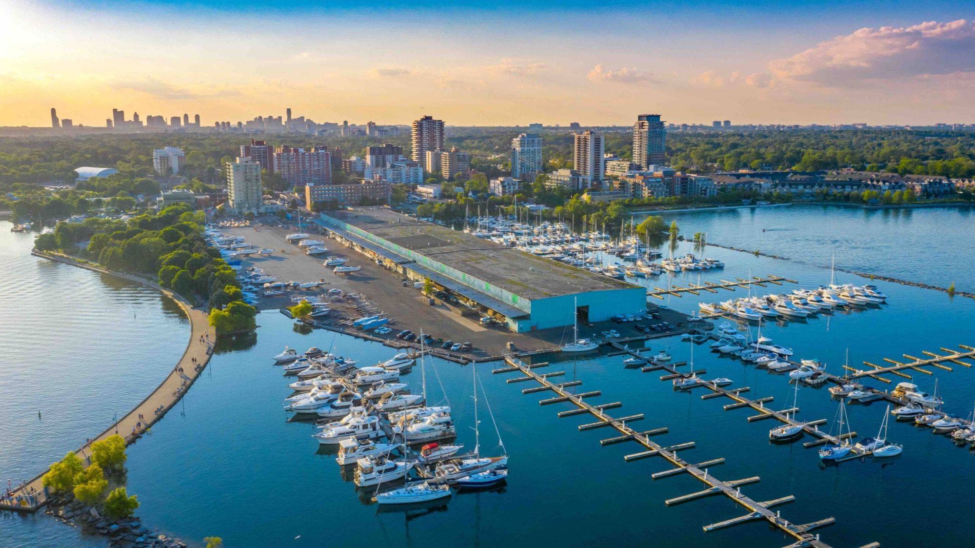
Twenty-two kilometres of Lake Ontario shoreline, the harbour at Port Credit, and the Waterfront Trail running the length of it.
Canada's Busiest Airport
Toronto Pearson sits inside Mississauga's northern boundary — a major employer, and the reason the city's corporate corridor exists.
A Real Downtown
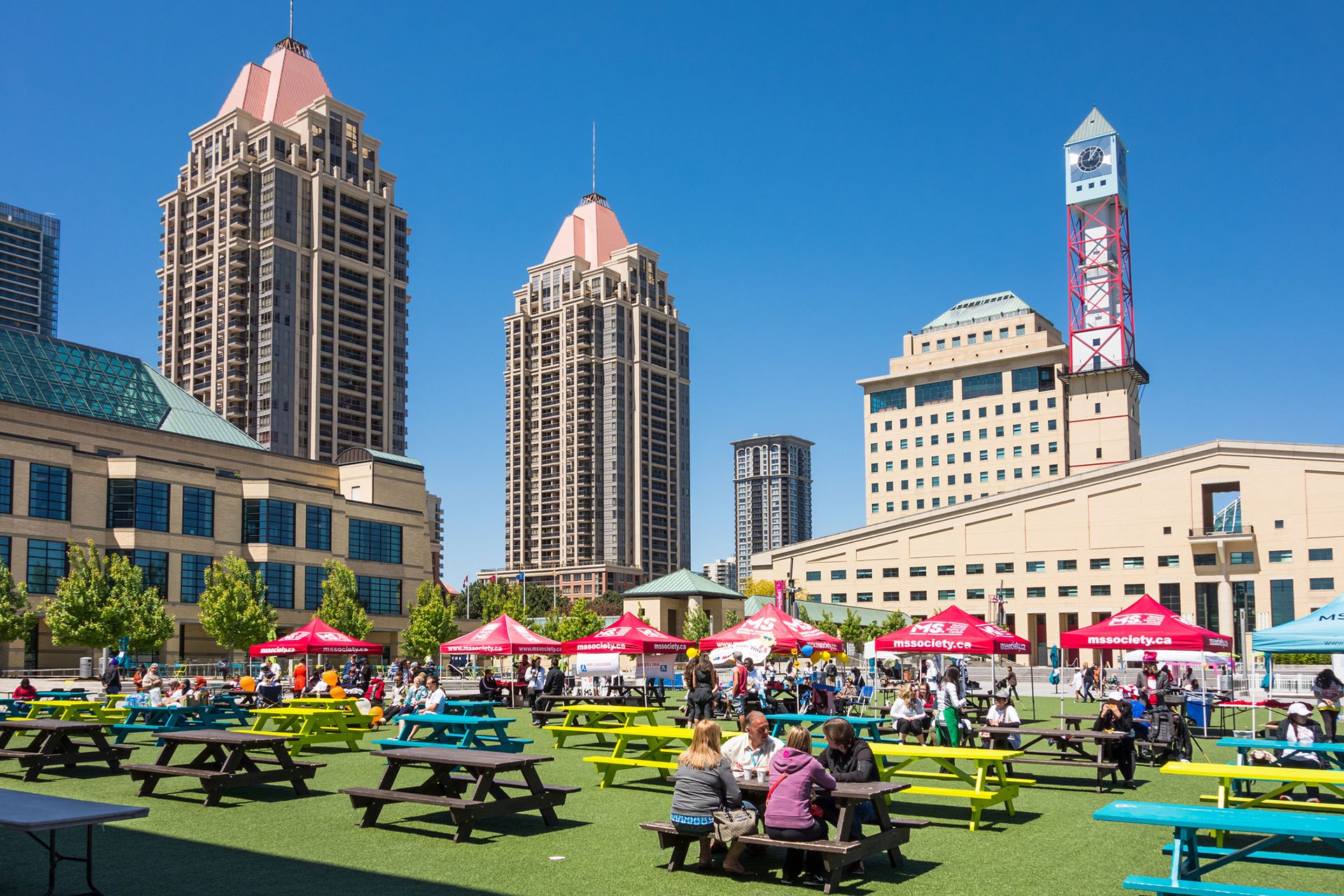
City Centre around Square One has grown into a genuine core: towers, Celebration Square, the Living Arts Centre and a library.
The Credit River
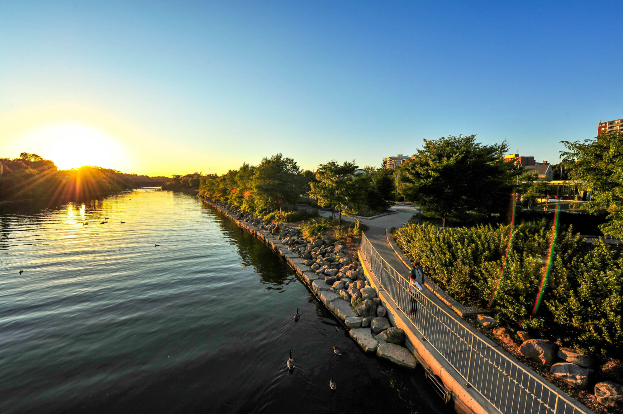
The river cuts the city in half north to south, with Riverwood, Erindale Park and the Culham Trail strung along its valley.
Transit That's Changing
Three GO lines with stations at Port Credit, Clarkson, Cooksville, Erindale, Streetsville, Meadowvale, Lisgar and Malton — plus the Hurontario LRT.
One of Canada's Most Diverse
More than half of residents were born outside Canada, and it shows in the food, the festivals and the neighbourhoods.
Population, area and median age from the 2021 Census of Population (Statistics Canada). The City notes that with the census undercount, the 2021 figure is closer to 756,100.
What People Love
Why people move here
and then stay.
Ask ten Mississauga residents why they chose it and you'll get roughly these six answers.

Every corner of the city,
and what it's actually like.
Mississauga isn't one market — it's twenty-five of them. Choose a neighbourhood to see the schools, parks, commute and housing mix that define it.
South · Lakefront
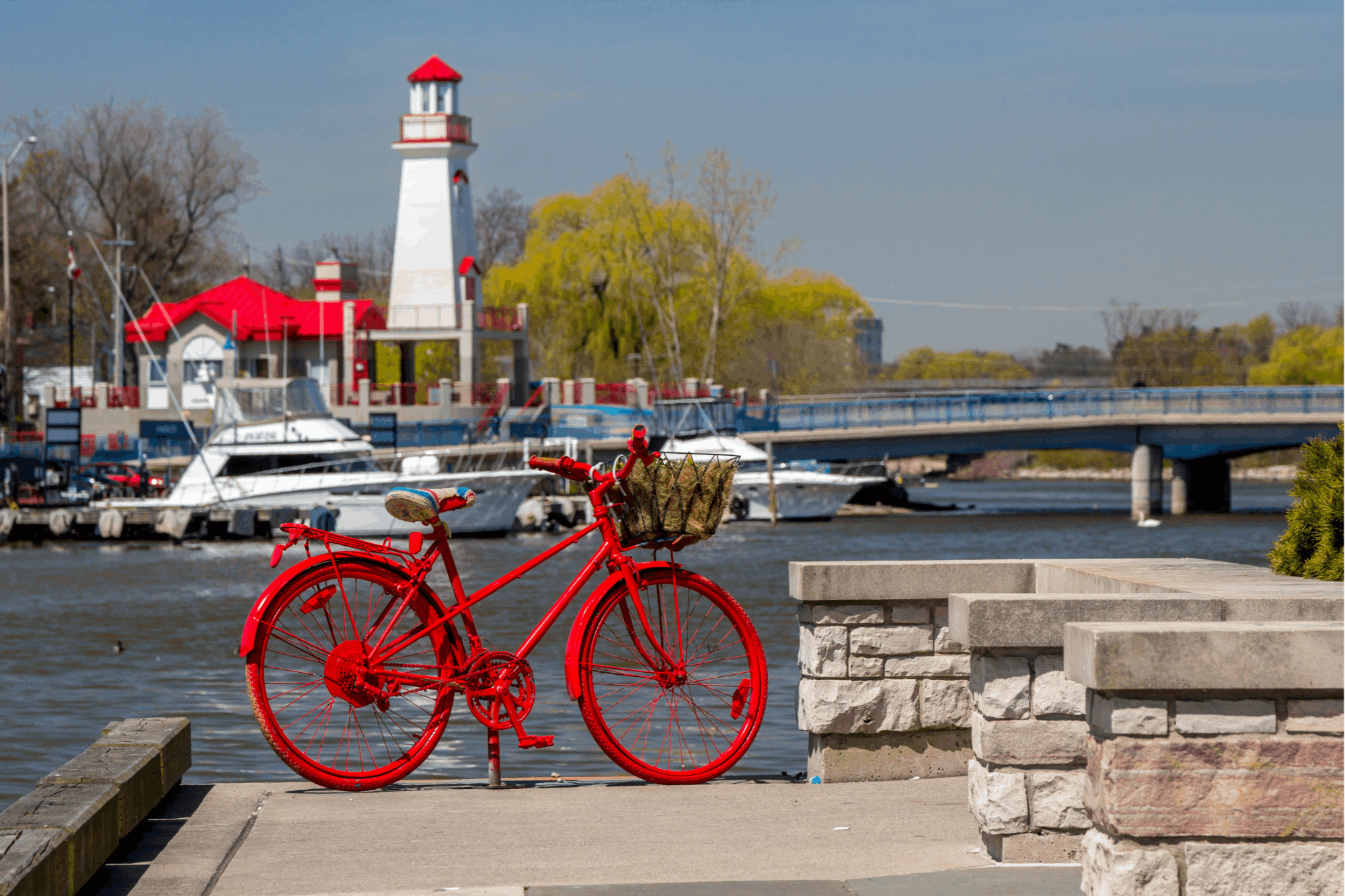
The village on the harbour
Mississauga's most walkable neighbourhood, built around the Credit River mouth and its marina. Restaurants, patios, festivals and a GO station in the middle of it — and the Hurontario LRT terminating here.
Schools
Riverside PS, Port Credit SS
Parks & Green Space
J.C. Saddington Park, Memorial Park, the Waterfront Trail
Getting Around
Port Credit GO on the Lakeshore West line; LRT terminus
Walkability
Very walkable
Housing
Low-rise condos, semis, century homes, new waterfront builds
Southeast · Lakefront
The next waterfront chapter
East of Port Credit toward the Toronto line, with a mix of post-war homes and the enormous Lakeview Village redevelopment reshaping the old power plant lands.
Schools
Cawthra Park SS, Allan A. Martin Senior PS
Parks & Green Space
Lakefront Promenade Park, Marie Curtis Park, Douglas Kennedy Park
Getting Around
Long Branch GO nearby; QEW at Cawthra
Walkability
Somewhat walkable
Housing
Bungalows, custom rebuilds, new condo and townhome development
South · Central
Big lots, old trees
Just north of Port Credit and split east-west by Hurontario. Deep ravine lots, mature canopy and a steady stream of custom rebuilds — one of the city's premium addresses.
Schools
Mineola PS, Port Credit SS, Kenollie PS
Parks & Green Space
Kenollie Park, Cawthra Bush, Credit River trails
Getting Around
Port Credit and Cooksville GO; QEW at Hurontario
Walkability
Car-dependent
Housing
Estate lots, mid-century homes, custom rebuilds
Central
The original crossroads
Where Dundas meets Hurontario — one of the city's oldest settlements and now one of its densest. High-rise apartments, a GO station, and the LRT running straight through.
Schools
Camilla Road Senior PS, T.L. Kennedy SS
Parks & Green Space
Cooksville Park, Kariya Park, Confederation Park nearby
Getting Around
Cooksville GO; Hurontario LRT; QEW and 403
Walkability
Very walkable
Housing
High-rise apartments, older detached homes, new condos
Central
The downtown that got built
Square One, Celebration Square, the Living Arts Centre, the Central Library and a growing forest of towers. The closest thing the 905 has to a real downtown core.
Schools
Sheridan College Hazel McCallion Campus nearby
Parks & Green Space
Celebration Square, Zonta Meadows, Kariya Park
Getting Around
City Centre Transit Terminal; Hurontario LRT; 403
Walkability
Very walkable
Housing
Condo towers, stacked towns
Central
Green space in the middle of it
Wedged between City Centre and Cooksville along the Cooksville Creek valley, with a community centre, arena and one of the better-value pockets this central.
Schools
Camilla Road Senior PS, Father Michael Goetz SS
Parks & Green Space
Mississauga Valley Park and Community Centre, Cooksville Creek trail
Getting Around
Cooksville GO; LRT and 403 close
Walkability
Somewhat walkable
Housing
Townhomes, apartments, 1970s detached homes
Central
Beside the core, quieter
Immediately west of City Centre, mixing older residential streets with newer mid-rise. Everything downtown is within a short walk or one stop on transit.
Schools
Queen Elizabeth Senior PS, T.L. Kennedy SS
Parks & Green Space
Rotary Park, Confederation Park, Zonta Meadows
Getting Around
Cooksville GO; LRT; 403 at Confederation
Walkability
Walkable
Housing
Detached homes, townhomes, mid-rise condos
Central · North
The spine of the city
The corridor running north from City Centre, being reshaped by the LRT. A mix of mature subdivisions, big-box retail and rising density along the main street.
Schools
Fallingbrook Middle, Rick Hansen SS
Parks & Green Space
Frank McKechnie Community Centre, Cooksville Creek trail
Getting Around
Hurontario LRT; 403 and 401 both close
Walkability
Somewhat walkable
Housing
Detached homes, townhomes, new condos along the corridor
East
Established east-end streets
Between Dixie and Cawthra around Bloor, one of the city's older post-war suburbs. Mature trees, generous lots, and quick access to Toronto.
Schools
Glenforest SS, Applewood Heights SS
Parks & Green Space
Applewood Hills Park, Garnetwood Park, Etobicoke Creek trail
Getting Around
Dixie GO; QEW, 427 and 403
Walkability
Somewhat walkable
Housing
Bungalows, side-splits, custom rebuilds
East
Quiet, wooded, well kept
North of Burnhamthorpe between Dixie and Tomken. Curving streets, mature landscaping and a reputation as one of the calmer east-end pockets.
Schools
Glenforest SS, Rockwood PS
Parks & Green Space
Burnhamthorpe Community Centre, Rathwood Park, Etobicoke Creek
Getting Around
403 and 427; Dixie GO by car
Walkability
Car-dependent
Housing
1970s detached homes, townhomes
East
Where the city works
The industrial and commercial spine of east Mississauga, with pockets of established housing tucked between employment lands and Etobicoke Creek.
Schools
Gordon Graydon Memorial SS
Parks & Green Space
Etobicoke Creek Trail, Garnetwood Park
Getting Around
Dixie GO; QEW, 427 and 401 all minutes away
Walkability
Car-dependent
Housing
Older detached homes, townhomes, apartments
Northeast
A village beside the airport
Mississauga's northeast corner, next to Pearson. One of the oldest communities in the city and one of the most affordable, with its own GO station and community centre.
Schools
Lincoln M. Alexander SS, Ascension of Our Lord SS
Parks & Green Space
Wildwood Park, Paul Coffey Park, Etobicoke Creek
Getting Around
Malton GO on the Kitchener line; 401, 427 and 407
Walkability
Somewhat walkable
Housing
Post-war detached homes, townhomes, apartments
Central · West
On the Credit, and old
One of the original villages, straddling the Credit River at Dundas. Older homes, big trees, the UTM campus nearby and Erindale Park at the bottom of the hill.
Schools
University of Toronto Mississauga nearby, Woodlands SS
Parks & Green Space
Erindale Park, Culham Trail, Riverwood Conservancy
Getting Around
Erindale GO on the Milton line; 403 close
Walkability
Somewhat walkable
Housing
Century homes, mid-century detached, some townhomes
Central · North
Between the river and Mavis
North-central Mississauga along the Credit, with subdivisions built through the 1980s and 90s and river valley trails on the western edge.
Schools
Rick Hansen SS, Hazel McCallion Senior PS
Parks & Green Space
Riverwood Conservancy, Creditview Park, Culham Trail
Getting Around
Streetsville GO; 403 and 401
Walkability
Car-dependent
Housing
Detached homes, townhomes
North
Big family subdivisions
One of the city's largest residential areas, built out through the 1990s between Mavis and the Credit. Family homes, schools and plazas at every major intersection.
Schools
Rick Hansen SS, St. Marcellinus SS
Parks & Green Space
Braeben Golf Course, Riverwood, Zonta Meadows
Getting Around
Streetsville GO; 401, 403 and 407
Walkability
Car-dependent
Housing
Detached homes and townhomes, 1990s onward
West
The original planned community
One of Canada's first master-planned communities, laid out in the 1970s around the Erin Mills Parkway. Winding streets, schools and green space built in from the start.
Schools
John Fraser SS, Woodlands SS
Parks & Green Space
Sawmill Creek trails, South Common Community Centre
Getting Around
Erindale GO; 403 at Erin Mills Parkway
Walkability
Somewhat walkable
Housing
Detached homes, townhomes, condos
West
Schools, shops, and demand
Built around Erin Mills Town Centre and Credit Valley Hospital, with a school catchment that drives its market more than almost anything else in the city.
Schools
John Fraser SS, St. Aloysius Gonzaga SS
Parks & Green Space
Erin Meadows Community Centre, Sawmill Creek trail
Getting Around
Streetsville GO; 403 and 407
Walkability
Somewhat walkable
Housing
Detached homes, freehold townhomes, condos
West · North
Newer, and family-built
Mississauga's western edge, built largely in the 2000s. Wide streets, newer schools, a new community centre, and the 407 and 403 both minutes away.
Schools
Stephen Lewis SS, St. Joan of Arc SS
Parks & Green Space
Churchill Meadows Community Centre, Ridgeway Park
Getting Around
Lisgar GO; 403 and 407
Walkability
Car-dependent
Housing
Detached homes, freehold townhomes
Northwest
Commuter-built, family-run
The far northwest corner, planned around its own GO station. Popular with families who want a train to Union and newer housing stock.
Schools
Meadowvale SS, St. Marcellinus SS
Parks & Green Space
Osprey Marsh, Lisgar Fields, Osprey Woods trail
Getting Around
Lisgar GO on the Milton line; 401 and 407
Walkability
Car-dependent
Housing
Detached homes, townhomes, 1990s-2000s
Northwest
Lakes, trails and a town centre
A 1970s planned community in the northwest, built around Lake Aquitaine and Lake Wabukayne with its own town centre and a network of paths connecting the whole thing.
Schools
Meadowvale SS, David Leeder Middle
Parks & Green Space
Lake Aquitaine Park, Lake Wabukayne, Meadowvale Community Centre
Getting Around
Meadowvale GO on the Kitchener line; 401 and 407
Walkability
Somewhat walkable
Housing
Detached homes, townhomes, condos
North
A heritage village, preserved
A designated heritage conservation district north of Derry, with 19th-century buildings on Old Derry Road and newer executive housing built around it.
Schools
St. Marcellinus SS, Meadowvale SS
Parks & Green Space
Meadowvale Conservation Area, Credit River, Braeben
Getting Around
Meadowvale GO; 401 and 407 close
Walkability
Car-dependent
Housing
Heritage homes plus 1990s-2000s executive builds
Northwest · Central
The village in the city
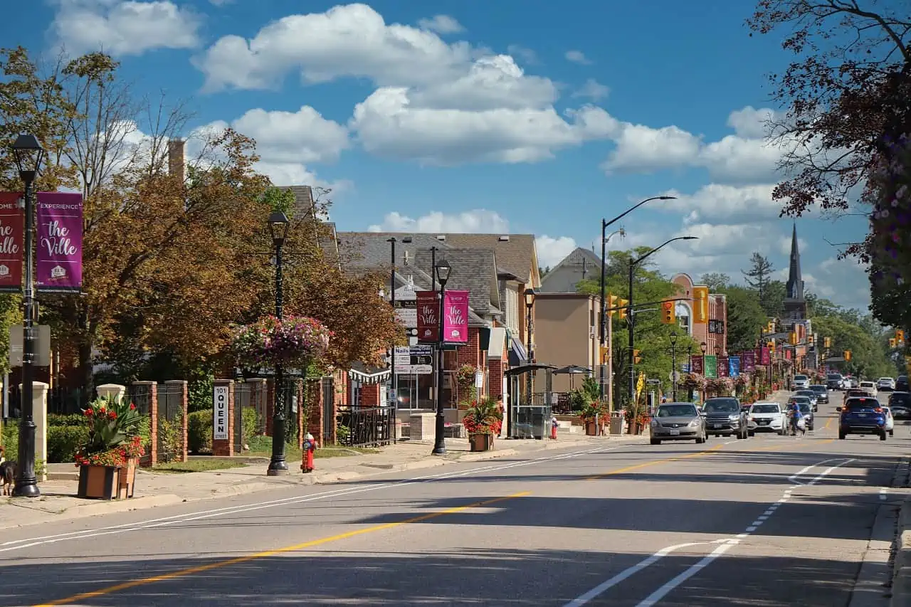
A former town that kept its main street entirely intact — independent shops, pubs, the Bread and Honey Festival, and the Credit River running behind it.
Schools
Streetsville SS, Vista Heights PS
Parks & Green Space
Streetsville Memorial Park, Credit River trails, Riverwood
Getting Around
Streetsville GO on the Milton line; 401 and 403
Walkability
Very walkable
Housing
Century homes, infill builds, townhomes, low-rise condos
Southwest
Homelands and the QEW
Southwest Mississauga around Sheridan Homelands, between Erin Mills Parkway and the Oakville line. Established, wooded, and close to both the QEW and the lake.
Schools
Iona Catholic SS, Sheridan Park PS
Parks & Green Space
Sheridan Park, Sawmill Creek, Rattray Marsh nearby
Getting Around
Clarkson GO; QEW at Erin Mills Parkway
Walkability
Car-dependent
Housing
1970s detached homes, townhomes
Southwest
Village life with a commuter train
Built around Clarkson Village and its GO station — one of the busiest on the Lakeshore West line. Shops and restaurants on Lakeshore, and Rattray Marsh to the south.
Schools
Lorne Park SS, Clarkson SS
Parks & Green Space
Rattray Marsh Conservation Area, Jack Darling Memorial Park
Getting Around
Clarkson GO; QEW at Southdown
Walkability
Somewhat walkable
Housing
Detached homes, newer townhomes and condos
Southwest
The city's premium address
Between Clarkson and Mineola south of the QEW. Mature trees, deep lots, and a school catchment that keeps demand consistently ahead of supply.
Schools
Lorne Park SS, Whiteoaks PS, Tecumseh PS
Parks & Green Space
Jack Darling Memorial Park, Rattray Marsh, Lorne Park Estates
Getting Around
Clarkson and Port Credit GO; QEW
Walkability
Car-dependent
Housing
Estate homes, custom rebuilds, large lots
Neighbourhood boundaries vary between sources, and school catchments change — always confirm the catchment for a specific address with the Peel District School Board or Dufferin-Peel Catholic District School Board before relying on it.
Every corner of the city,
and what it's actually like.
Mississauga isn't one market — it's twenty-five of them. Choose a neighbourhood to see the schools, parks, commute and housing mix that define it.
South · Lakefront
The village on the harbour
Mississauga's most walkable neighbourhood, built around the Credit River mouth and its marina. Restaurants, patios, festivals and a GO station in the middle of it — and the Hurontario LRT terminating here.
Schools
Riverside PS, Port Credit SS
Parks & Green Space
J.C. Saddington Park, Memorial Park, the Waterfront Trail
Getting Around
Port Credit GO on the Lakeshore West line; LRT terminus
Walkability
Very walkable
Housing
Low-rise condos, semis, century homes, new waterfront builds
Southeast · Lakefront
The next waterfront chapter
East of Port Credit toward the Toronto line, with a mix of post-war homes and the enormous Lakeview Village redevelopment reshaping the old power plant lands.
Schools
Cawthra Park SS, Allan A. Martin Senior PS
Parks & Green Space
Lakefront Promenade Park, Marie Curtis Park, Douglas Kennedy Park
Getting Around
Long Branch GO nearby; QEW at Cawthra
Walkability
Somewhat walkable
Housing
Bungalows, custom rebuilds, new condo and townhome development
South · Central
Big lots, old trees
Just north of Port Credit and split east-west by Hurontario. Deep ravine lots, mature canopy and a steady stream of custom rebuilds — one of the city's premium addresses.
Schools
Mineola PS, Port Credit SS, Kenollie PS
Parks & Green Space
Kenollie Park, Cawthra Bush, Credit River trails
Getting Around
Port Credit and Cooksville GO; QEW at Hurontario
Walkability
Car-dependent
Housing
Estate lots, mid-century homes, custom rebuilds
Central
The original crossroads
Where Dundas meets Hurontario — one of the city's oldest settlements and now one of its densest. High-rise apartments, a GO station, and the LRT running straight through.
Schools
Camilla Road Senior PS, T.L. Kennedy SS
Parks & Green Space
Cooksville Park, Kariya Park, Confederation Park nearby
Getting Around
Cooksville GO; Hurontario LRT; QEW and 403
Walkability
Very walkable
Housing
High-rise apartments, older detached homes, new condos
Central
The downtown that got built
Square One, Celebration Square, the Living Arts Centre, the Central Library and a growing forest of towers. The closest thing the 905 has to a real downtown core.
Schools
Sheridan College Hazel McCallion Campus nearby
Parks & Green Space
Celebration Square, Zonta Meadows, Kariya Park
Getting Around
City Centre Transit Terminal; Hurontario LRT; 403
Walkability
Very walkable
Housing
Condo towers, stacked towns
Central
Green space in the middle of it
Wedged between City Centre and Cooksville along the Cooksville Creek valley, with a community centre, arena and one of the better-value pockets this central.
Schools
Camilla Road Senior PS, Father Michael Goetz SS
Parks & Green Space
Mississauga Valley Park and Community Centre, Cooksville Creek trail
Getting Around
Cooksville GO; LRT and 403 close
Walkability
Somewhat walkable
Housing
Townhomes, apartments, 1970s detached homes
Central
Beside the core, quieter
Immediately west of City Centre, mixing older residential streets with newer mid-rise. Everything downtown is within a short walk or one stop on transit.
Schools
Queen Elizabeth Senior PS, T.L. Kennedy SS
Parks & Green Space
Rotary Park, Confederation Park, Zonta Meadows
Getting Around
Cooksville GO; LRT; 403 at Confederation
Walkability
Walkable
Housing
Detached homes, townhomes, mid-rise condos
Central · North
The spine of the city
The corridor running north from City Centre, being reshaped by the LRT. A mix of mature subdivisions, big-box retail and rising density along the main street.
Schools
Fallingbrook Middle, Rick Hansen SS
Parks & Green Space
Frank McKechnie Community Centre, Cooksville Creek trail
Getting Around
Hurontario LRT; 403 and 401 both close
Walkability
Somewhat walkable
Housing
Detached homes, townhomes, new condos along the corridor
East
Established east-end streets
Between Dixie and Cawthra around Bloor, one of the city's older post-war suburbs. Mature trees, generous lots, and quick access to Toronto.
Schools
Glenforest SS, Applewood Heights SS
Parks & Green Space
Applewood Hills Park, Garnetwood Park, Etobicoke Creek trail
Getting Around
Dixie GO; QEW, 427 and 403
Walkability
Somewhat walkable
Housing
Bungalows, side-splits, custom rebuilds
East
Quiet, wooded, well kept
North of Burnhamthorpe between Dixie and Tomken. Curving streets, mature landscaping and a reputation as one of the calmer east-end pockets.
Schools
Glenforest SS, Rockwood PS
Parks & Green Space
Burnhamthorpe Community Centre, Rathwood Park, Etobicoke Creek
Getting Around
403 and 427; Dixie GO by car
Walkability
Car-dependent
Housing
1970s detached homes, townhomes
East
Where the city works
The industrial and commercial spine of east Mississauga, with pockets of established housing tucked between employment lands and Etobicoke Creek.
Schools
Gordon Graydon Memorial SS
Parks & Green Space
Etobicoke Creek Trail, Garnetwood Park
Getting Around
Dixie GO; QEW, 427 and 401 all minutes away
Walkability
Car-dependent
Housing
Older detached homes, townhomes, apartments
Northeast
A village beside the airport
Mississauga's northeast corner, next to Pearson. One of the oldest communities in the city and one of the most affordable, with its own GO station and community centre.
Schools
Lincoln M. Alexander SS, Ascension of Our Lord SS
Parks & Green Space
Wildwood Park, Paul Coffey Park, Etobicoke Creek
Getting Around
Malton GO on the Kitchener line; 401, 427 and 407
Walkability
Somewhat walkable
Housing
Post-war detached homes, townhomes, apartments
Central · West
On the Credit, and old
One of the original villages, straddling the Credit River at Dundas. Older homes, big trees, the UTM campus nearby and Erindale Park at the bottom of the hill.
Schools
University of Toronto Mississauga nearby, Woodlands SS
Parks & Green Space
Erindale Park, Culham Trail, Riverwood Conservancy
Getting Around
Erindale GO on the Milton line; 403 close
Walkability
Somewhat walkable
Housing
Century homes, mid-century detached, some townhomes
Central · North
Between the river and Mavis
North-central Mississauga along the Credit, with subdivisions built through the 1980s and 90s and river valley trails on the western edge.
Schools
Rick Hansen SS, Hazel McCallion Senior PS
Parks & Green Space
Riverwood Conservancy, Creditview Park, Culham Trail
Getting Around
Streetsville GO; 403 and 401
Walkability
Car-dependent
Housing
Detached homes, townhomes
North
Big family subdivisions
One of the city's largest residential areas, built out through the 1990s between Mavis and the Credit. Family homes, schools and plazas at every major intersection.
Schools
Rick Hansen SS, St. Marcellinus SS
Parks & Green Space
Braeben Golf Course, Riverwood, Zonta Meadows
Getting Around
Streetsville GO; 401, 403 and 407
Walkability
Car-dependent
Housing
Detached homes and townhomes, 1990s onward
West
The original planned community
One of Canada's first master-planned communities, laid out in the 1970s around the Erin Mills Parkway. Winding streets, schools and green space built in from the start.
Schools
John Fraser SS, Woodlands SS
Parks & Green Space
Sawmill Creek trails, South Common Community Centre
Getting Around
Erindale GO; 403 at Erin Mills Parkway
Walkability
Somewhat walkable
Housing
Detached homes, townhomes, condos
West
Schools, shops, and demand
Built around Erin Mills Town Centre and Credit Valley Hospital, with a school catchment that drives its market more than almost anything else in the city.
Schools
John Fraser SS, St. Aloysius Gonzaga SS
Parks & Green Space
Erin Meadows Community Centre, Sawmill Creek trail
Getting Around
Streetsville GO; 403 and 407
Walkability
Somewhat walkable
Housing
Detached homes, freehold townhomes, condos
West · North
Newer, and family-built
Mississauga's western edge, built largely in the 2000s. Wide streets, newer schools, a new community centre, and the 407 and 403 both minutes away.
Schools
Stephen Lewis SS, St. Joan of Arc SS
Parks & Green Space
Churchill Meadows Community Centre, Ridgeway Park
Getting Around
Lisgar GO; 403 and 407
Walkability
Car-dependent
Housing
Detached homes, freehold townhomes
Northwest
Commuter-built, family-run
The far northwest corner, planned around its own GO station. Popular with families who want a train to Union and newer housing stock.
Schools
Meadowvale SS, St. Marcellinus SS
Parks & Green Space
Osprey Marsh, Lisgar Fields, Osprey Woods trail
Getting Around
Lisgar GO on the Milton line; 401 and 407
Walkability
Car-dependent
Housing
Detached homes, townhomes, 1990s-2000s
Northwest
Lakes, trails and a town centre
A 1970s planned community in the northwest, built around Lake Aquitaine and Lake Wabukayne with its own town centre and a network of paths connecting the whole thing.
Schools
Meadowvale SS, David Leeder Middle
Parks & Green Space
Lake Aquitaine Park, Lake Wabukayne, Meadowvale Community Centre
Getting Around
Meadowvale GO on the Kitchener line; 401 and 407
Walkability
Somewhat walkable
Housing
Detached homes, townhomes, condos
North
A heritage village, preserved
A designated heritage conservation district north of Derry, with 19th-century buildings on Old Derry Road and newer executive housing built around it.
Schools
St. Marcellinus SS, Meadowvale SS
Parks & Green Space
Meadowvale Conservation Area, Credit River, Braeben
Getting Around
Meadowvale GO; 401 and 407 close
Walkability
Car-dependent
Housing
Heritage homes plus 1990s-2000s executive builds
Northwest · Central
The village in the city
A former town that kept its main street entirely intact — independent shops, pubs, the Bread and Honey Festival, and the Credit River running behind it.
Schools
Streetsville SS, Vista Heights PS
Parks & Green Space
Streetsville Memorial Park, Credit River trails, Riverwood
Getting Around
Streetsville GO on the Milton line; 401 and 403
Walkability
Very walkable
Housing
Century homes, infill builds, townhomes, low-rise condos
Southwest
Homelands and the QEW
Southwest Mississauga around Sheridan Homelands, between Erin Mills Parkway and the Oakville line. Established, wooded, and close to both the QEW and the lake.
Schools
Iona Catholic SS, Sheridan Park PS
Parks & Green Space
Sheridan Park, Sawmill Creek, Rattray Marsh nearby
Getting Around
Clarkson GO; QEW at Erin Mills Parkway
Walkability
Car-dependent
Housing
1970s detached homes, townhomes
Southwest
Village life with a commuter train
Built around Clarkson Village and its GO station — one of the busiest on the Lakeshore West line. Shops and restaurants on Lakeshore, and Rattray Marsh to the south.
Schools
Lorne Park SS, Clarkson SS
Parks & Green Space
Rattray Marsh Conservation Area, Jack Darling Memorial Park
Getting Around
Clarkson GO; QEW at Southdown
Walkability
Somewhat walkable
Housing
Detached homes, newer townhomes and condos
Southwest
The city's premium address
Between Clarkson and Mineola south of the QEW. Mature trees, deep lots, and a school catchment that keeps demand consistently ahead of supply.
Schools
Lorne Park SS, Whiteoaks PS, Tecumseh PS
Parks & Green Space
Jack Darling Memorial Park, Rattray Marsh, Lorne Park Estates
Getting Around
Clarkson and Port Credit GO; QEW
Walkability
Car-dependent
Housing
Estate homes, custom rebuilds, large lots
Neighbourhood boundaries vary between sources, and school catchments change — always confirm the catchment for a specific address with the Peel District School Board or Dufferin-Peel Catholic District School Board before relying on it.
Homes in Mississauga
See what's on the market
right now.
Every active listing across Mississauga, updated as it comes to market. Not sure which neighbourhood fits? We're just down the lake in Oakville — come ask us.


