
Oakville, Ontario
A town on the lake,
and a place to stay.
Ontario's largest town, twenty-five minutes from Toronto, built around a harbour and a hundred kilometres of trails. Here's what living here actually looks like.
Ontario's largest town,
and it doesn't feel like it.
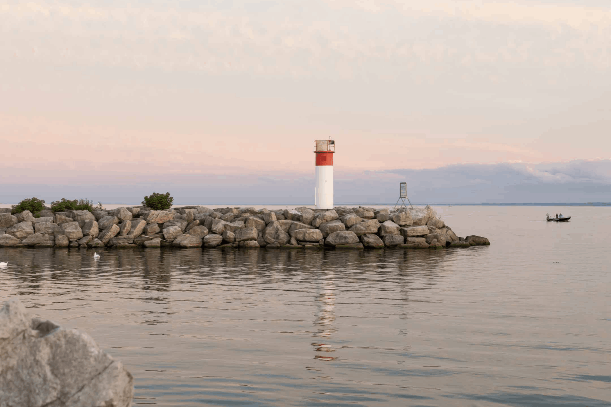
Oakville sits on Lake Ontario between Toronto and Hamilton, in Halton Region. It was established in 1827 as a shipbuilding harbour, and the town still organizes itself around the water.
Oakville — 139 km² on the lake
0
Residents
(2021 Census)
0 km²
Land Area
0
Established
0.6
Median Age
On the Lake
Kilometres of Lake Ontario shoreline, two working harbours at Oakville and Bronte, and waterfront parks connected end to end by trail.
Close to Everything
Three GO stations — Oakville, Bronte and Clarkson at the edge — plus the QEW, 403 and 407. Union Station is roughly half an hour by train.
Two Downtowns
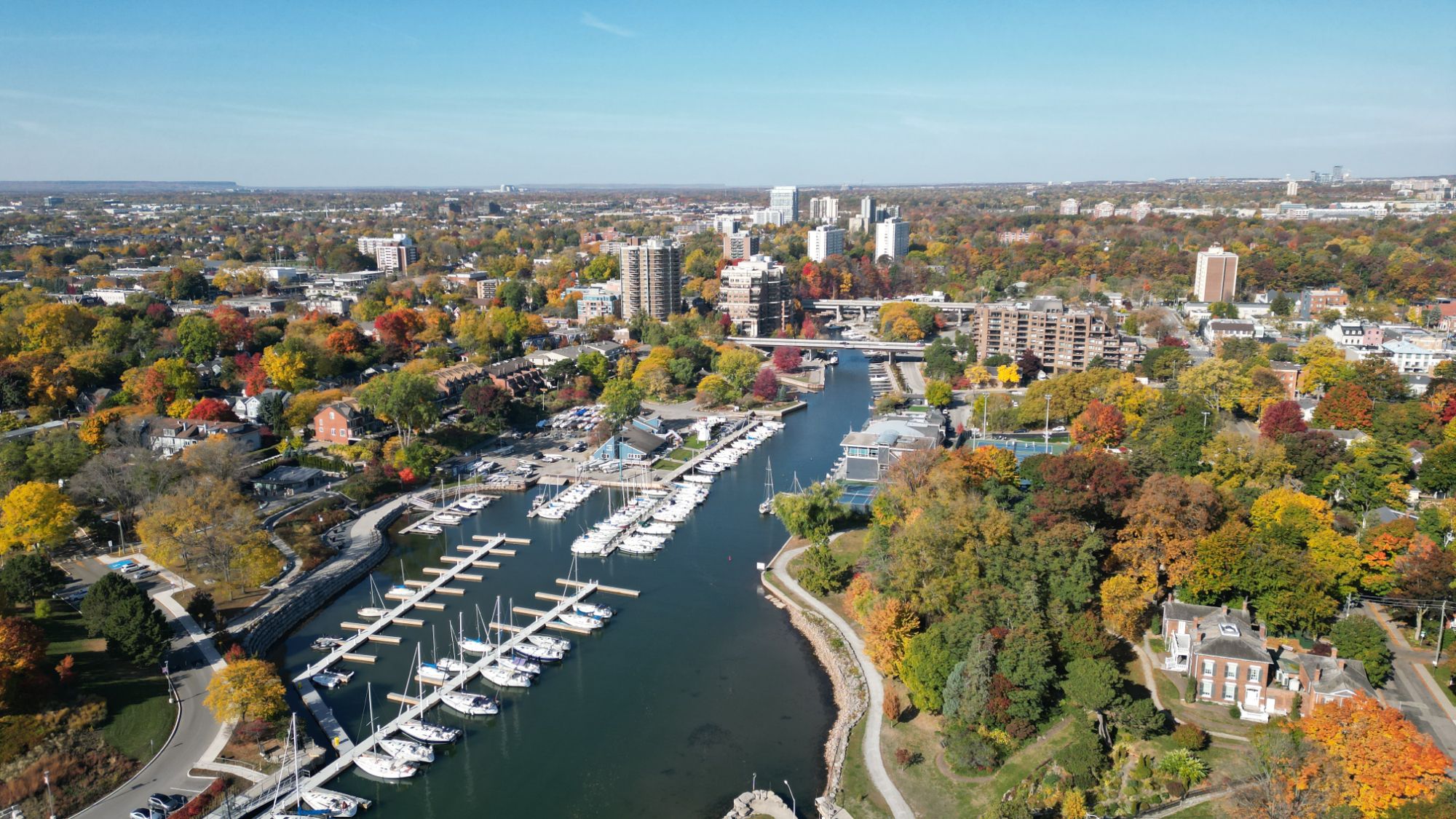
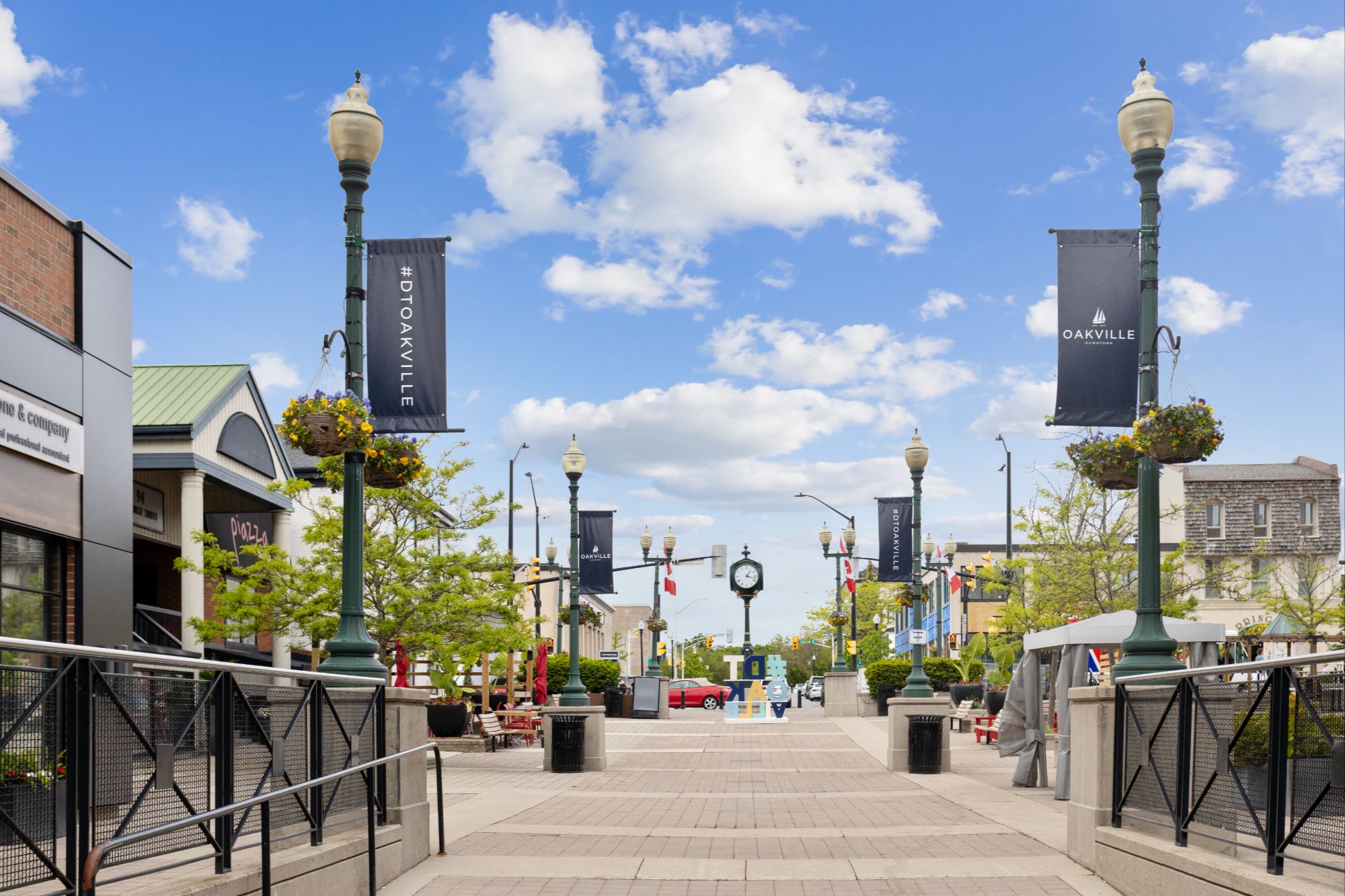
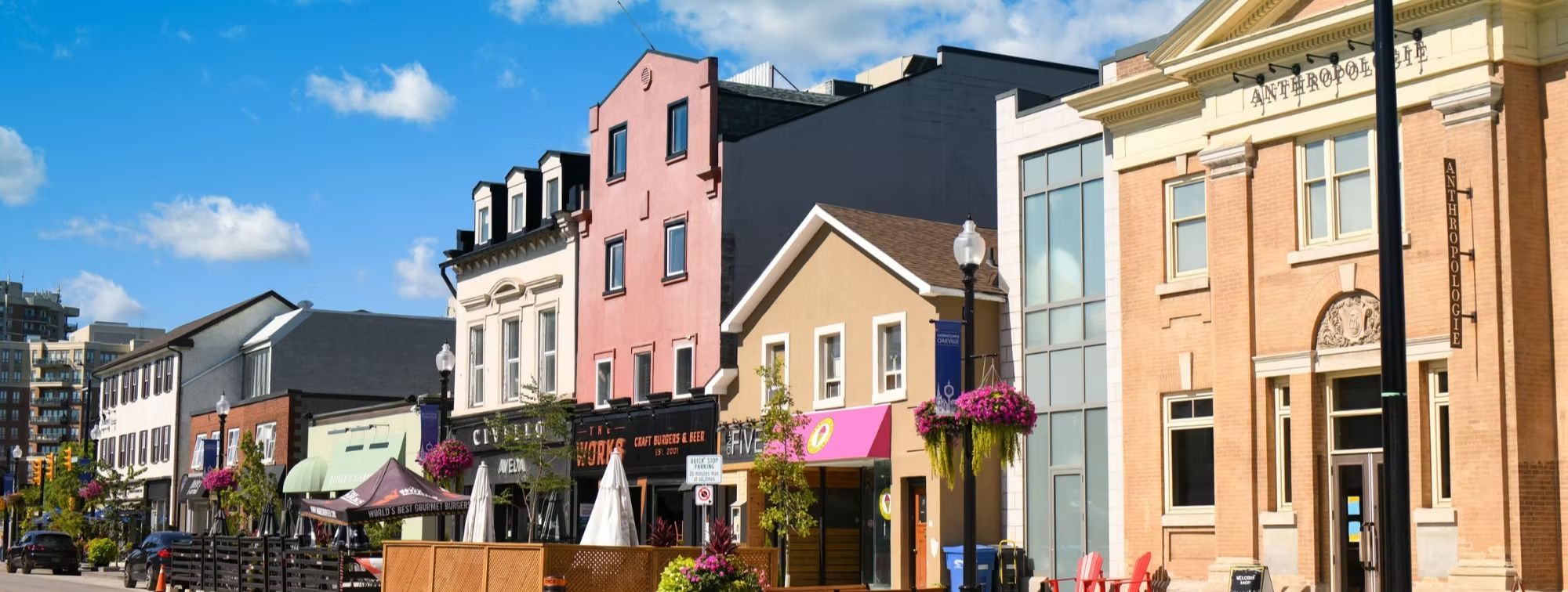
Historic Downtown Oakville on Lakeshore Road East, and Bronte Village around the harbour to the west. Both walkable, both on the water.
Green Everywhere
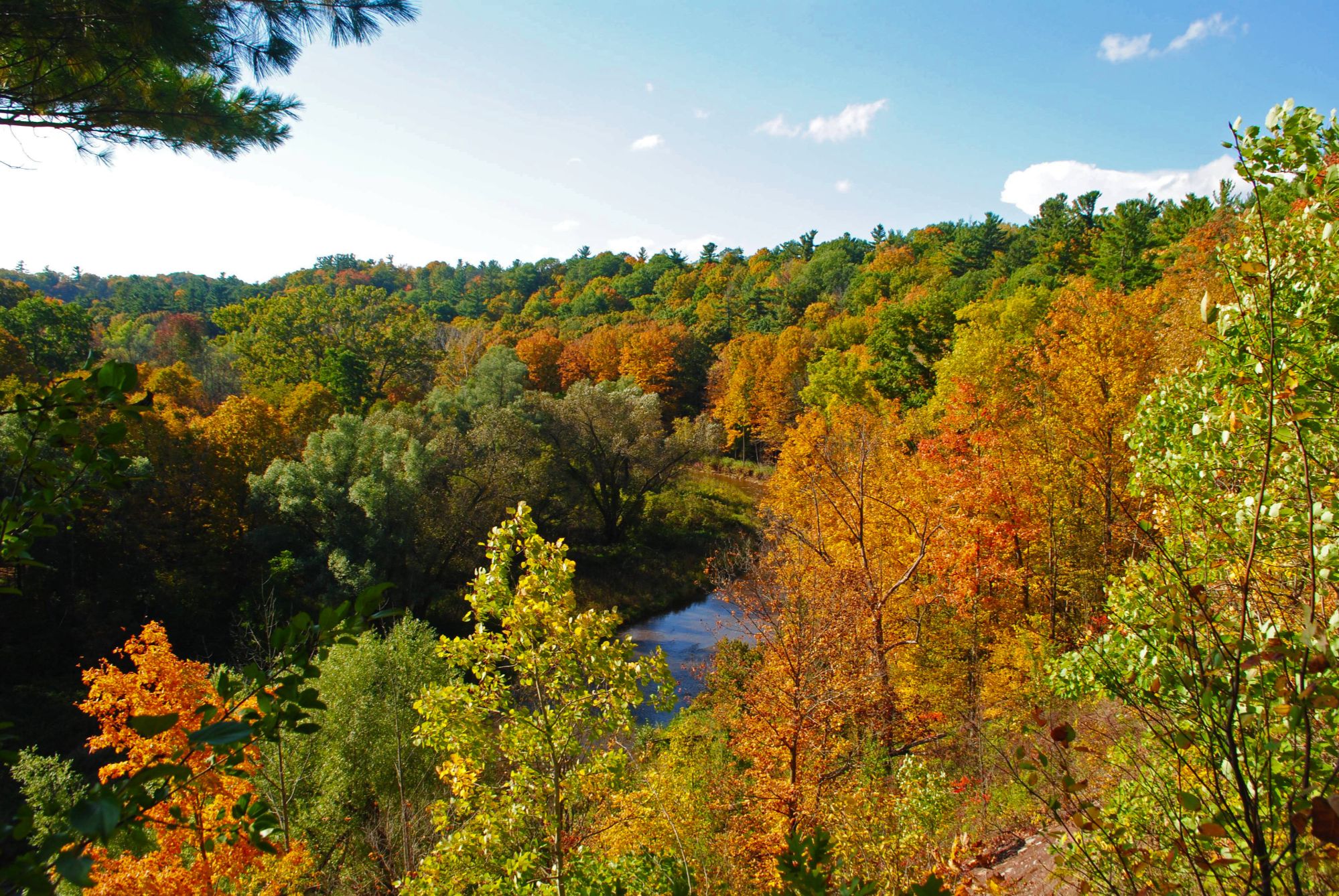
Sixteen Mile Creek and Bronte Creek cut ravines through the whole town, with Bronte Creek Provincial Park at the western edge.
Schools That Draw People
Halton District and Halton Catholic boards, French Immersion across both, plus Sheridan College's Trafalgar campus and a number of private schools.
Grown-Up Golf Town
Glen Abbey, Oakville Golf Club, Deerfield and Saw-Whet — Oakville has more championship golf than towns twice its size.
Population, area and median age from the 2021 Census of Population (Statistics Canada). Town estimates put the 2024 population near 233,700.
What People Love
Why people move here
and then stay.
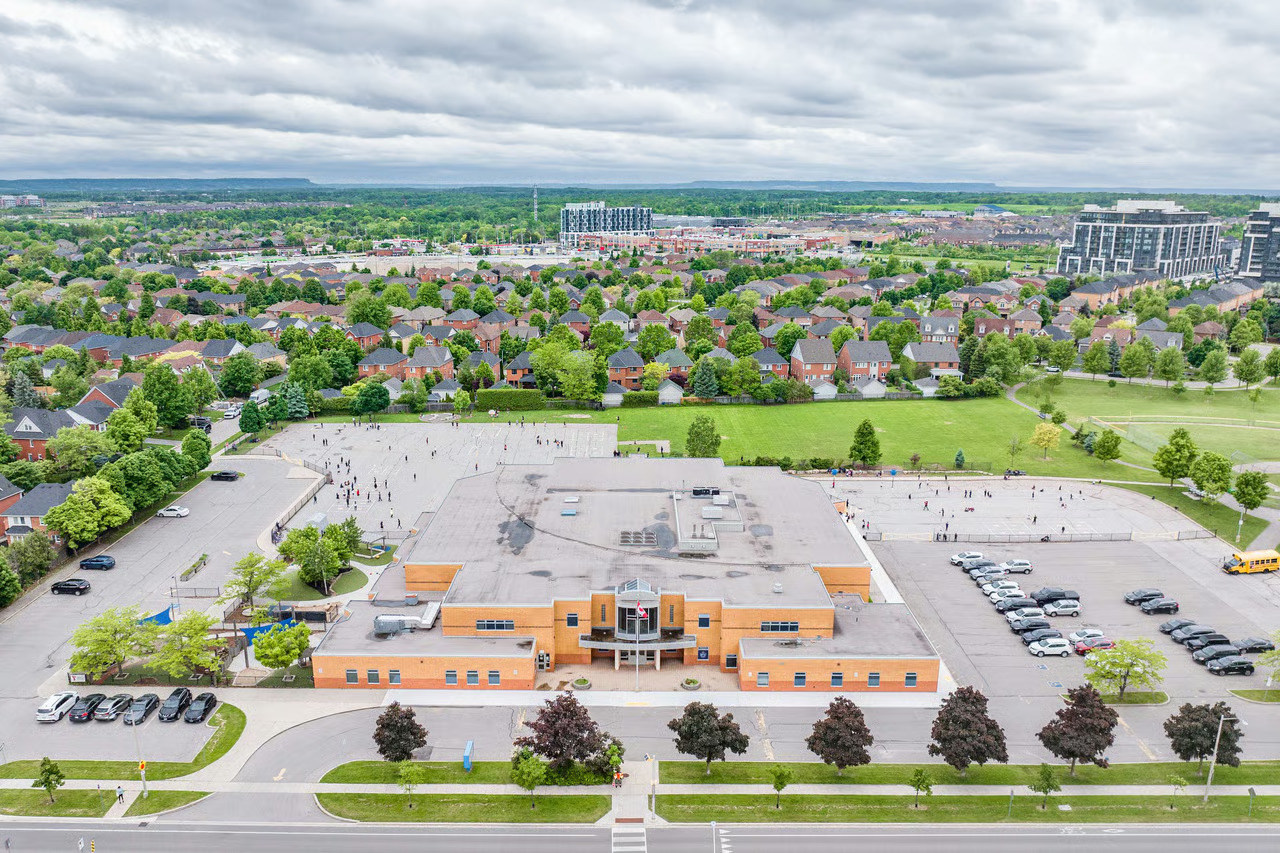
Ask ten Oakville residents why they chose it and you'll get roughly these six answers.

Fun Facts
Nine things you probably
didn't know about Oakville.
Two hundred years of harbour town, and a few surprises along the way.
In 1827 Colonel William Chisholm bought 960 acres at the mouth of Sixteen Mile Creek at Crown auction, then laid out a town and built the harbour with his own money.
By the 1870s Oakville was the largest strawberry-growing district in the Dominion. When wheat collapsed, farmers switched to fruit — and the town became known for it.
Oakville's lakeshore was an entry point for people escaping slavery in the United States. The Oakville Museum keeps permanent exhibits on that history, marked each year at the Emancipation Day Picnic.
All that fruit needed containers. The Oakville Basket Company ran from 1871 all the way to 1984 — over a century of one of the town's biggest employers.
The Oakville Assembly Complex was built on a former poultry farm and spans 487 acres beside the QEW. Its first line built Mustangs; it still employs thousands.
When shipping declined, the Chisholms sold the harbour. The Town of Oakville bought it in 1874 and has owned it ever since — which is why the waterfront is still public.
Brock Chisholm, a great-great-grandson of the town's founder, became the first Director-General of the World Health Organization.
The white oak forests that once covered the shoreline were cut for ship timber and barrel staves — the export trade the harbour was built to serve, and the source of the name.
With over 213,000 residents Oakville is bigger than most Ontario cities — and has voted repeatedly to stay a town rather than become one.
Sources include the Oakville Historical Society, the Oakville Museum, the Canadian Encyclopedia and Statistics Canada.
Every corner of town,
and what it's actually like.
Oakville isn't one market — it's twenty-two of them. Choose a neighbourhood to see the schools, parks, commute and housing mix that define it.
Downtown · South
Heritage streets and the harbour
The original town, laid out around Sixteen Mile Creek in 1827. Century homes on tree-lined streets, the Lakeshore Road shopping strip, and the lighthouse at the harbour mouth. Prices reflect the address, and always have.
Schools
Oakville Trafalgar HS, New Central PS, St. Mary CES
Parks & Green Space
Lakeside Park, Gairloch Gardens, Waterfront Trail, Erchless Estate
Getting Around
Walk to downtown; Oakville GO about 10 min by car
Walkability
Very walkable
Housing
Century homes, infill builds, low-rise condos
Central · South
The neighbourhood that's changing fastest
Just west of downtown along Kerr Street, with an independent restaurant strip and a wave of redevelopment. Walkable, close to the GO, and still one of the more attainable pockets south of the QEW.
Schools
W.H. Morden PS, Oakville Trafalgar HS
Parks & Green Space
Tannery Park, Waterworks Park, Westwood Park
Getting Around
Oakville GO within walking distance for much of it
Walkability
Very walkable
Housing
Post-war bungalows, new townhomes, mid-rise condos
West · Lakefront
A fishing village that kept its harbour
Built around Bronte Harbour where Bronte Creek meets the lake. Marina, beach, waterfront restaurants and a strip of low-rise condos with real water views. A distinct village feel from the rest of town.
Schools
Pilgrim Wood PS, Eastview PS, Abbey Park HS
Parks & Green Space
Bronte Heritage Waterfront Park, Bronte Beach, Bronte Bluffs, Fisherman's Wharf
Getting Around
Bronte GO nearby; QEW at Bronte Road
Walkability
Walkable in the village
Housing
Waterfront condos, detached homes, semis
West · North of QEW
Newer streets beside a provincial park
One of Oakville's newer west-end communities, backing onto Bronte Creek Provincial Park. Wide streets, family-scaled homes, and a lot of green at the doorstep.
Schools
Forest Trail PS, Garth Webb SS
Parks & Green Space
Bronte Creek Provincial Park, Nottinghill Gate parks
Getting Around
Bronte GO and QEW access; car-oriented
Walkability
Car-dependent
Housing
Detached homes and townhomes, 1990s onward
West · Central
Mature, tree-lined, and built around golf
Grew up around the Glen Abbey Golf Club in the 1970s and 80s. Mature trees, ravine trails, and one of the most consistently in-demand school catchments in town.
Schools
Abbey Park HS, Pilgrim Wood PS, St. Matthew CES
Parks & Green Space
Glen Abbey Park, Lions Valley Park, Sixteen Mile Creek Trail
Getting Around
Bronte GO; quick QEW and 403 access
Walkability
Somewhat walkable
Housing
Detached two-storeys, some townhomes and condos
West · North
Family-built, trail-connected
A planned community north of the QEW with parks and paths woven through it rather than tacked on. Popular with young families and often the entry point into west Oakville.
Schools
Garth Webb SS, West Oak Public School, St. Joan of Arc CES
Parks & Green Space
Fourteen Mile Creek trails, Nipegon Park, Postridge Park
Getting Around
Bronte GO; QEW and 407 nearby
Walkability
Somewhat walkable
Housing
Detached homes, freehold townhomes
West · North
Ponds, paths, and the hospital nearby
A well-planned 1990s and 2000s community around Oakville Trafalgar Memorial Hospital, with stormwater ponds and trails threaded through the streets.
Schools
Captain R. Wilson PS, Garth Webb SS
Parks & Green Space
Westmount Park, Fourteen Mile Creek corridor
Getting Around
Third Line and Dundas transit; QEW and 407
Walkability
Somewhat walkable
Housing
Detached homes, townhomes, some condos
Northwest
The western edge, still filling in
Around Dundas and Bronte Road, where Oakville's newest west-end development is happening. Big-box shopping, newer builds, and quick highway access.
Schools
Captain R. Wilson PS, Garth Webb SS
Parks & Green Space
Palermo Park, Bronte Creek Provincial Park nearby
Getting Around
Dundas transit corridor; 407 and QEW
Walkability
Car-dependent
Housing
New detached homes, townhomes, low-rise condos
North Central
Trails, ponds and a community centre
North-central Oakville built through the 1980s and 90s, with a strong park network and a busy community centre. A wide mix of home styles means families often move up within it rather than out of it.
Schools
Iroquois Ridge HS, River Oaks PS, St. Andrew CES
Parks & Green Space
River Oaks Park, Sixteen Mile Creek Trail, Memorial Park
Getting Around
Oakville GO by car; Trafalgar Road corridor transit
Walkability
Somewhat walkable
Housing
Townhomes through larger detached homes
Central
Around Sheridan, close to everything
Between Sixteen Mile Creek and Trafalgar Road, wrapping Sheridan College's Trafalgar campus. Established, central, and one of the better-value pockets north of the QEW.
Schools
White Oaks SS, Sheridan College nearby
Parks & Green Space
Wallace Park, Sixteen Mile Creek Trail
Getting Around
Oakville GO close by; QEW at Trafalgar
Walkability
Somewhat walkable
Housing
1960s-70s detached homes, townhomes, apartments
North Central
Oakville's most urban corner
Around Trafalgar and Dundas, the closest thing Oakville has to a downtown high street with density. Condos, transit, shops and restaurants within walking distance of each other.
Schools
Iroquois Ridge HS, Munn's PS
Parks & Green Space
Memorial Park, Sixteen Mile Sports Complex
Getting Around
Major Oakville Transit hub; 403 and 407 minutes away
Walkability
Very walkable
Housing
Condos, stacked towns, newer townhomes
North · New
North Oakville, built this decade
One of the newest communities in town, north of Dundas. Modern builds, new schools and parks going in, and the Glenorchy Conservation Area on the doorstep.
Schools
New Halton schools opening as the area builds out
Parks & Green Space
Glenorchy Conservation Area, Sixteen Mile Creek
Getting Around
Dundas transit; direct 407 access
Walkability
Car-dependent
Housing
New detached homes, townhomes
Northeast
Community centre at the centre of it
Between Upper Middle and Dundas in the northeast, anchored by the Iroquois Ridge Community Centre with its library and pool. Reliably popular with families.
Schools
Iroquois Ridge HS, Munn's PS, St. Ignatius of Loyola CSS
Parks & Green Space
Iroquois Ridge Community Centre, Joshua Valley Park
Getting Around
Trafalgar corridor transit; 403 and 407
Walkability
Somewhat walkable
Housing
Detached homes and townhomes, 1990s onward
East · Central
Quiet, wooded, and often overlooked
A small established pocket in the southern end of Iroquois Ridge South, tucked against Sixteen Mile Creek ravine. Mature trees and a settled, quiet feel.
Schools
Sheridan PS, Iroquois Ridge HS
Parks & Green Space
Falgarwood Park, Sixteen Mile Creek ravine trails
Getting Around
QEW at Trafalgar; Oakville GO by car
Walkability
Car-dependent
Housing
1970s detached homes, some townhomes
East
Working-family established east end
Centre-east Oakville near the Mississauga side, with a mix of established detached homes and townhomes and good highway access for commuters.
Schools
Sunningdale PS, Iroquois Ridge HS
Parks & Green Space
Clearview Park, Joshua Creek trails
Getting Around
QEW and 403; Clarkson GO close by
Walkability
Car-dependent
Housing
Detached homes, townhomes, semis
East
Creek-side family streets
An east Oakville community built around the Joshua Creek corridor, known for quiet streets, parks, and a strong school catchment.
Schools
Post's Corners PS, Iroquois Ridge HS
Parks & Green Space
Wedgewood Park, Joshua Creek Trail
Getting Around
403 and 407 nearby; Clarkson GO
Walkability
Car-dependent
Housing
Detached homes, freehold townhomes
Northeast
Executive homes, commuter-friendly
Northeast Oakville, between Dundas and Upper Middle from Eighth Line across to Ninth Line. A master-planned community built through the 1990s and 2000s — larger executive homes, creek-side green space, and quick access to the 403 and 407.
Schools
Joshua Creek PS, Iroquois Ridge HS, St. Marguerite d'Youville CES
Parks & Green Space
Joshua's Valley Park, Glenashton Park, the 6 km Joshua Creek Trail
Getting Around
403 and 407 close by; Oakville GO on the Lakeshore West line
Walkability
Car-dependent
Housing
Executive detached homes, some townhomes
Southeast · Lakefront
Oakville's most established address
Southeast Oakville along the lake, between Morrison Creek and the Mississauga border. Large lots, mature trees, and some of the town's most significant properties.
Schools
Oakville Trafalgar HS, Maple Grove PS, E.J. James PS
Parks & Green Space
Gairloch Gardens, Lakeside parks, the Oakville Club
Getting Around
Oakville and Clarkson GO; QEW at Ford Drive
Walkability
Car-dependent
Housing
Estate and custom homes, large lots
Southeast
Big lots, old trees, quiet streets
Between Chartwell and Maple Grove, south of Cornwall Road. Developed through the 1950s to 70s and heavily rebuilt since, on some of the deepest lots in Oakville.
Schools
Oakville Trafalgar HS, Maple Grove PS
Parks & Green Space
Morrison Valley trails, Wallace Park nearby
Getting Around
Oakville GO; QEW at Trafalgar or Ford
Walkability
Car-dependent
Housing
Custom rebuilds and mid-century homes
Southeast
Family-sized lots near the lake
The most southeasterly pocket, from Maple Grove east to Winston Churchill and south to the lake. Developed after Morrison, on slightly smaller but still generous lots.
Schools
Oakville Trafalgar HS, Munn's PS
Parks & Green Space
Shell Park, waterfront parks, Ford Drive trails
Getting Around
Clarkson and Oakville GO; QEW at Ford Drive
Walkability
Car-dependent
Housing
Detached family homes, some rebuilds
Southwest · Lakefront
Lakefront living, west of downtown
South of the QEW between Bronte and downtown, running to the water. A mix of established streets, waterfront properties, and steady redevelopment.
Schools
Appleby College nearby, Oakville Trafalgar HS, Pine Grove PS
Parks & Green Space
Coronation Park, Shell Park, Waterfront Trail
Getting Around
Bronte and Oakville GO; QEW access
Walkability
Car-dependent
Housing
Lakefront estates, bungalows, custom rebuilds
West · South of QEW
Rebuilding, street by street
Between Bronte and Kerr south of the QEW. Post-war bungalows on good lots being steadily replaced by custom builds, which keeps a range of price points alive.
Schools
Montclair PS, T.A. Blakelock HS
Parks & Green Space
Wallace Park, Nottinghill parks, waterfront nearby
Getting Around
Bronte GO; QEW at Third Line
Walkability
Somewhat walkable
Housing
Bungalows, custom rebuilds, townhomes
Neighbourhood boundaries vary between sources, and school catchments change — always confirm the catchment for a specific address with the Halton District School Board or Halton Catholic District School Board before relying on it.
Homes in Oakville
See what's on the market
right now.
Every active listing across Oakville, updated as it comes to market. Not sure which neighbourhood fits? We're on Lakeshore Road — come ask us.


